Description
The Digital Compass Clinometer is a versatile field instrument that combines direction measurement with precise angle and slope calculation. It allows users to measure bearings, gradients, and inclinations quickly, which makes it essential for surveying, geology, forestry, and engineering applications. As a result, professionals and students can perform accurate site analysis with minimal setup time.
Survey teams across India regularly use digital compass clinometers for land assessment and gradient checks. Similarly, field professionals in countries such as the United States, Australia, and South Africa rely on digital models for faster and more consistent readings during outdoor operations.
Digital Compass Clinometer for Direction and Slope Measurement
The Digital Compass Clinometer provides accurate compass bearings along with slope and tilt angles on a clear digital display. Engineers and surveyors use it to determine construction gradients, road alignment, and terrain inclination. Therefore, it supports reliable planning and layout work in real field conditions.
Because the instrument offers digital calibration, users can reset and verify readings easily before measurement. Moreover, the clear display improves readability in bright outdoor environments, which reduces manual reading errors.
Digital Compass Clinometer for Geology and Forestry Applications
The Digital Compass Clinometer plays an important role in geology and forestry fieldwork. Geologists use it to measure rock layer orientation, including strike and dip, during landform analysis. At the same time, forestry professionals use it to calculate tree height, slope direction, and terrain angles.
Training institutions in Canada and Germany also include digital clinometers in earth science and environmental studies programs. Consequently, students gain practical exposure to tools used in professional field surveys.
Digital Display and User-Friendly Operation
The digital interface shows direction, angle, and slope values instantly. As a result, users can take multiple readings quickly without complex calculations. Additionally, some models support data logging, which helps users record measurements for later analysis.
Suitable for Field Use and Training
This digital compass clinometer suits actual field operations as well as educational and training use. Professionals rely on it for real-world measurements, while instructors use it to demonstrate surveying and geological principles clearly.
Applications
- Surveying and land measurement
- Construction gradient and slope analysis
- Geological strike and dip measurement
- Forestry and tree height estimation
- Engineering site inspection and mapping
- Navigation and terrain assessment
other educational working models and laboratory kits to enhance hands-on learning in engineering and technical laboratories. In addition, institutions may also explore complementary learning solutions such as Jaadui Pitara educational learning kits to support interactive and concept-based education.
See also different:

Aluminum Leveling Staff

Mirror Stereoscope With Binocular
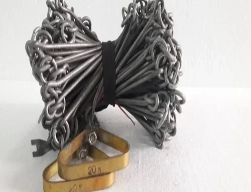
Survey Measuring Chain
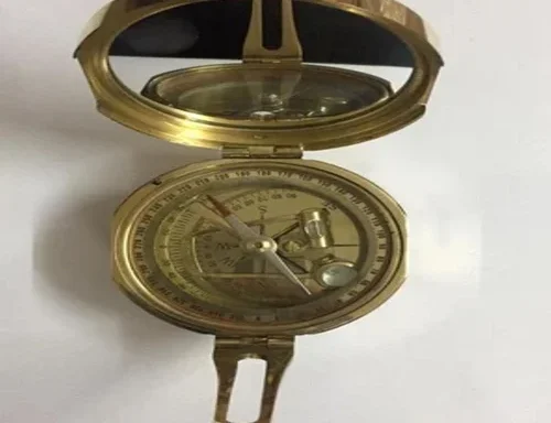
Brass Brunton Compass